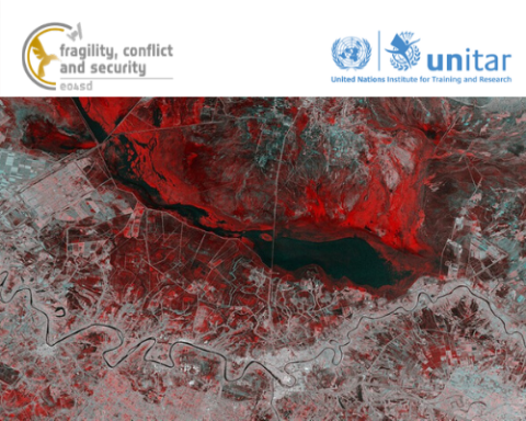
Geospatial Information Technology (GIT) in Fragile Contexts
This e-learning course was created as part of the Earth Observation for Sustainable Development: Fragility, Conflict and Security project funded by the European Space Agency and aims to give a short but practical introduction to Geospatial Infomation Technology (GIT) in states affected by fragility, with a focus on remote sensing.
NOTE- How to access the course:
Once you register for the course, you can access the online course here: https://learnatunitar.org/course/view.php?id=408
*For any technical assistance related to this course, please contact Ms. Sumeera Kamil (sumeera.kamil [at] unitar.org (sumeera[dot]kamil[at]unitar[dot]org))
The e-learning course is structured into 4 modules:
- Introduction to GIT in Fragile Contexts
- What Can Satellites See?
- GIS analysis for Fragile States
- How To Use Our Online Platform (E04SDFCV)
This self-paced course promotes an interactive approach through lessons and multimedia material, stimulating critical thinking. It provides a lot of flexibility, since you will be able to complete the course at your own pace and timeframe.
Each interactive module is accompanied by a quiz.
To receive a Certificate of Completion one needs to achieve a minimum grade of 80% on each quiz.
Technical Requirements: The course is delivered through UNITAR’s Virtual Learning Environment and participants will require a reliable internet connection throughout its duration.

